Services
Serving Central Texas and the Coastal Bend
QuadCaptive collects high quality aerial photogrammetry data for your organization to use in inspections, surveys, monitoring and commercial real estate monitoring.
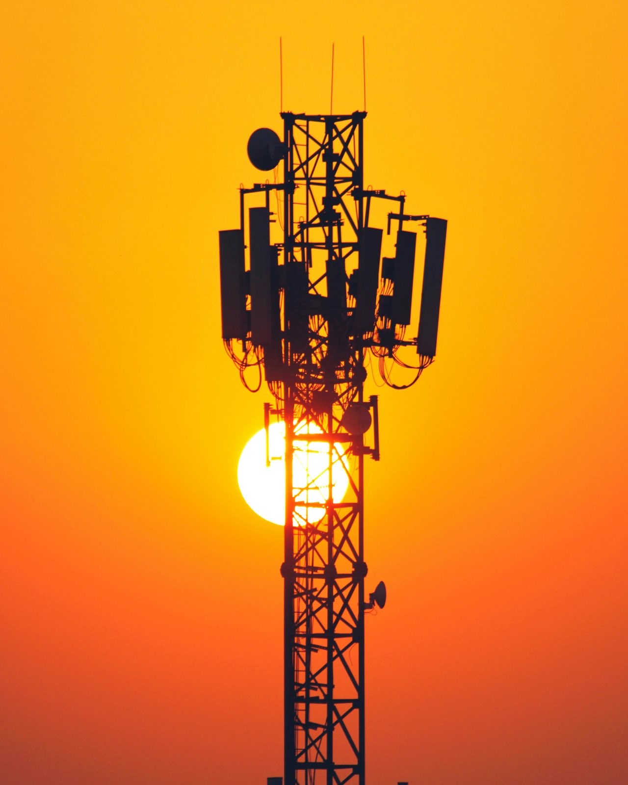
Infrastructure Monitoring
- Towers
- Poles
- Power lines
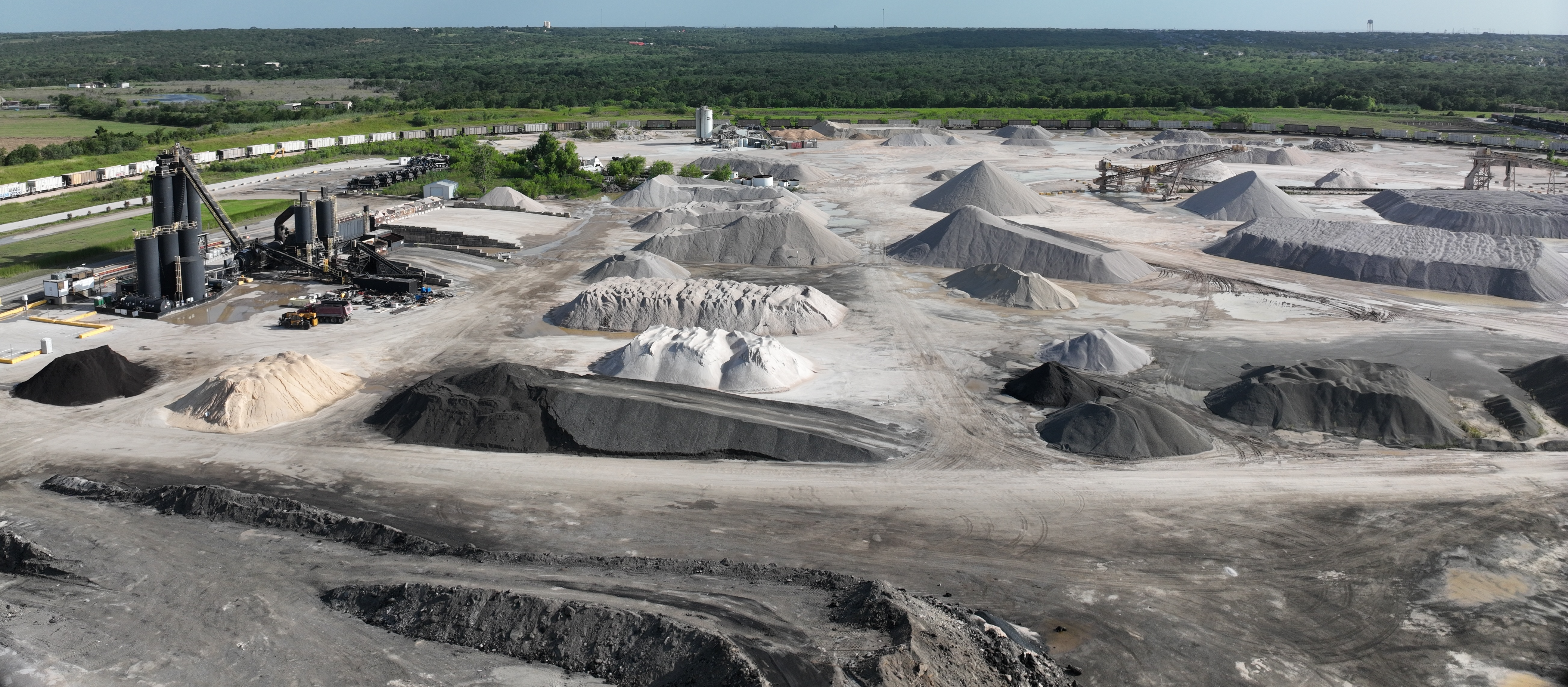
Construction Monitoring
- Time-lapsed
- Stockpiles
- Facilities
- Pavement
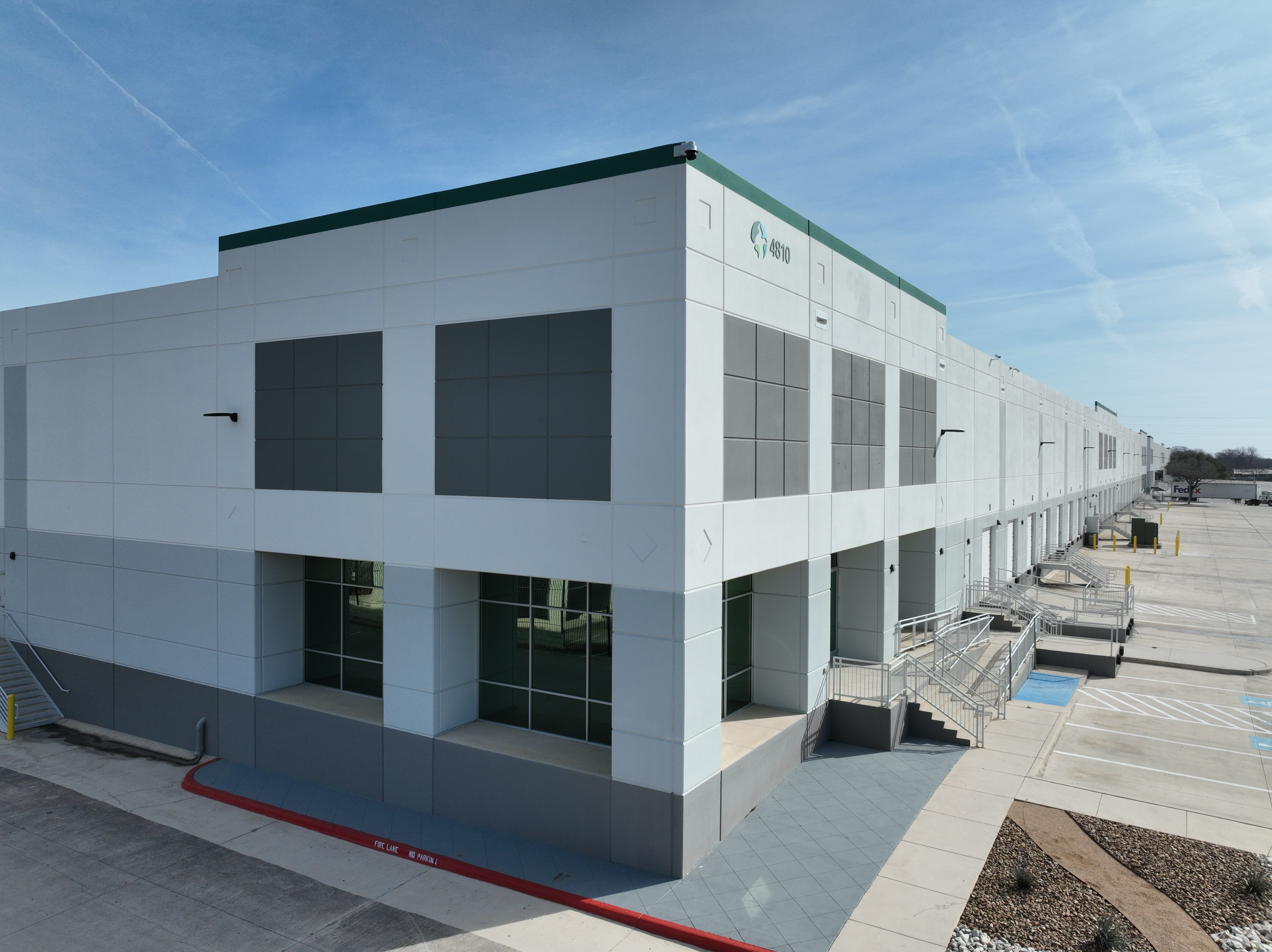
Commercial Real Estate Monitoring
- Marketing data
- Maintenance
- Insurance data
*QuadCaptive provides technology solutions and services in the form of aerial data acquisition. QuadCaptive is not a state-licensed professional engineering or land surveying firm, and its employees are not state-licensed professional engineers or land surveyors. All content on this website including text, graphics, images, and other material is intended for general information only. This content is not applicable to any specific context or condition. It is not a substitute for state-licensed professional engineering or land surveying services, or an offer to provide such services.